Korea navigation app guide for foreigners: Naver Map, Kakao Map, Subway
Content...
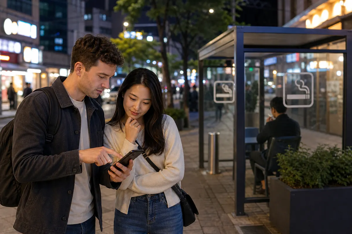
">When finding your way in Korea Google MapsIf you just trust it, you may be in trouble. Due to security regulations in Korea, Google Maps Car navigation and precise walking guidance are limitedBecause it's a local app Naver Map/Kakao MapIt is much more accurate to write . I will organize a navigation app for foreigners.
Why isn't Google Maps enough?
Google Maps in Korea Location search and public transportation work to some extent, but car directions are not available and walking routes are inaccurate.There are many times to do it. So most Koreans use Naver Map or Kakao Map. both apps Foreign languages such as Englishsupport.
Naver Map
This is the most widely used map app. Location search, public transportation/walking/car directions, real-time bus/subway arrival information, street viewSupports up to . Restaurants and cafes Reviews, business hours, reservations There is also a wealth of information, making it useful for both travel and daily life.
KakaoMap
Kakao Map has similarly powerful features. Public transportation directions and real-time bus arrivalsIt is accurate and convenient as it is linked to Kakao T (Taxi). There are many people who have both installed along with Naver Maps and use them according to the situation.
App for subways and buses
Specialized in subway transfers and timetables subway app(route map, last train time, etc.) or by stop Bus real-time arrival appThere is also. I use Naver and Kakao for directions, and the subway app is convenient for quickly viewing subway routes.
Tips for using directions
Enter the departure and arrival points Public transportation (subway, bus), walking, car, taxi You can compare routes and estimated times and fares at a glance. The public transportation route is Exit number, line number, transfer informationEven the first step is not difficult as it tells you everything. It's faster if you register your home or company in your favorites.
With Naver Map and Kakao Map, you can travel anywhere in Korea without getting lost. Install it first when it arrives!
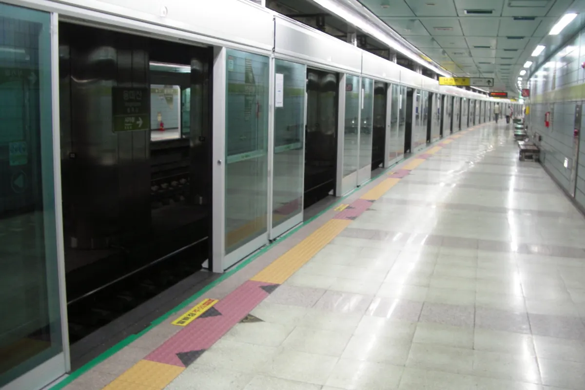
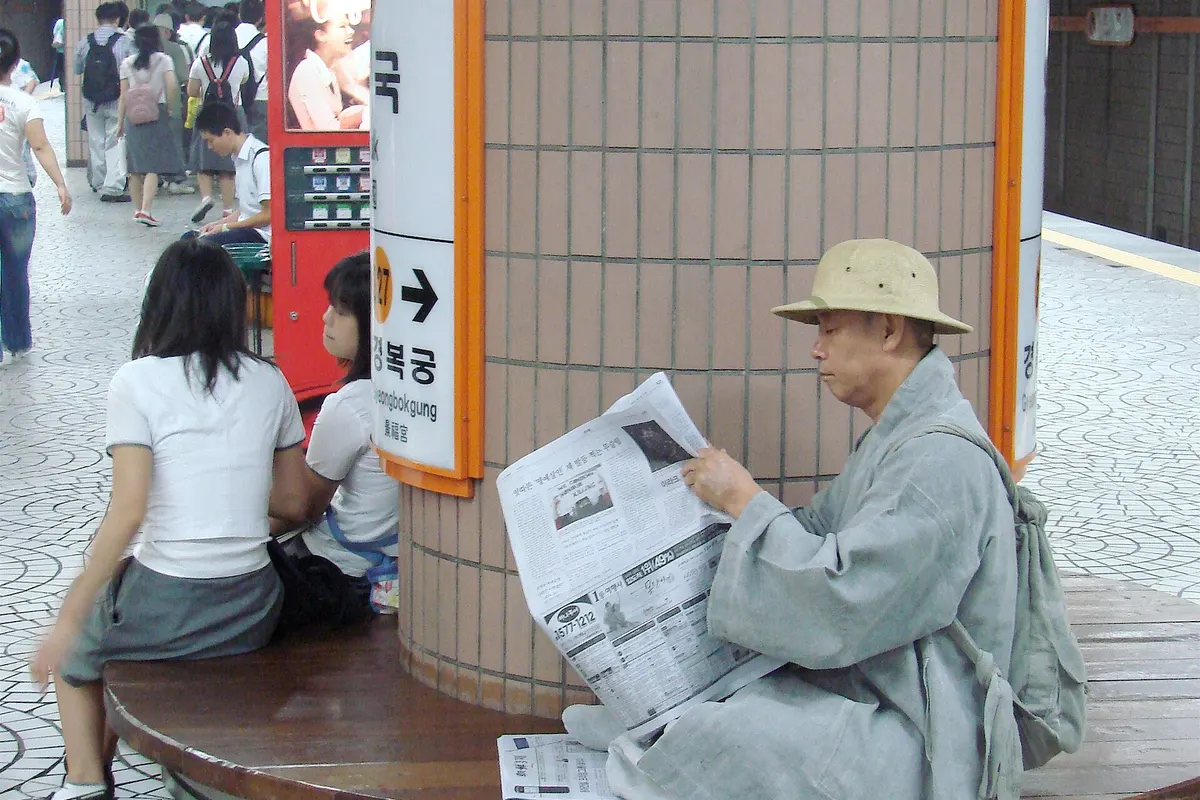
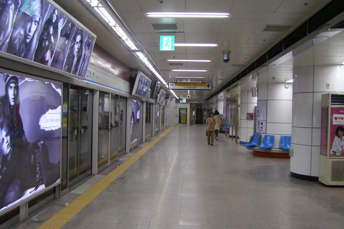
Image source: Seoul subway 3 Anguk station 20060916.jpg - Photocapy (a flickr user) This photo was taken with Sony DSC-H5, Wikimedia Commons, CC BY-SA 2.0 / Seoul subway line4 Myeong-dong station platform.jpg - en:User:Marcopolis, Wikimedia Commons, Public domain / Seoul subway 723 Yongmasan station platform 20080609.jpg - Kaitak89 on kowp, Wikimedia Commons, CC BY-SA 3.0